At Botes Land Surveyors we offer the following services:
At Botes Land Surveyors we offer the following services:
Engineering and Construction Surveys
We do setting-out of buildings, roads, and civil services. After construction, we carry out as-built surveys to check whether everything was built according to specification.
Cadastral Surveys
Beacon Relocations: When you’re unsure where your property boundary is — or there’s a dispute with a neighbour — we identify the legally correct boundary using Surveyor General data.
Subdivisions: We divide your property so that you can sell off portions.
Sectional Titles: We create separate ownership for units or sections within a complex or development.
Servitudes: We register legal rights over someone else's property — for example, a right-of-way servitude.
General Plans: When a new township is established, we create a subdivision layout containing multiple land parcels instead of an individual diagram.
3D Laser Scanning
We generate highly dense, pinpoint-accurate 3D laser-scanned digital twin point clouds for structural, mechanical, and architectural assets. These point clouds can either be used directly by engineers and architects to produce IFC/Revit BIM models - or we can do the modelling for you.
3D BIM Modelling
Using the point clouds from our Leica Laser Scanner, we model in Revit to produce 3D BIM models. These allow engineers and architects to design additions that tie in perfectly with existing structures. We typically model to LOD350 and export to IFC or DWG formats.
Fixed Wing Lidar & Drone Mapping
We use fixed-wing aircraft and drones to capture topography, contours, powerlines, buildings, assets, and road details over large land areas. While not as precise as ground-based methods, this is a highly cost-effective way to survey large areas of land.
Topographical Surveys
We carry out detailed topographical surveys to enable engineers and architects to determine the position and elevation of topography and existing assets on the land. The resulting CAD product makes it easy to design in alignment with the site's existing conditions.
As-built Surveys
We take precise measurements after construction to verify whether the design integrity was maintained throughout the building process.
Plan Compilation
We compile topographic, as-built, volume, and cadastral surveyed data into elegant, professional plans in PDF and DWG formats.
Quantities & Volume Audits
We calculate bulk earthworks, stockpile volumes, or the volume of materials, such as concrete poured over a surface. By surveying before and after, we can calculate the volume difference with high accuracy. BEW designs can also be used to calculate projected quantities before construction starts.
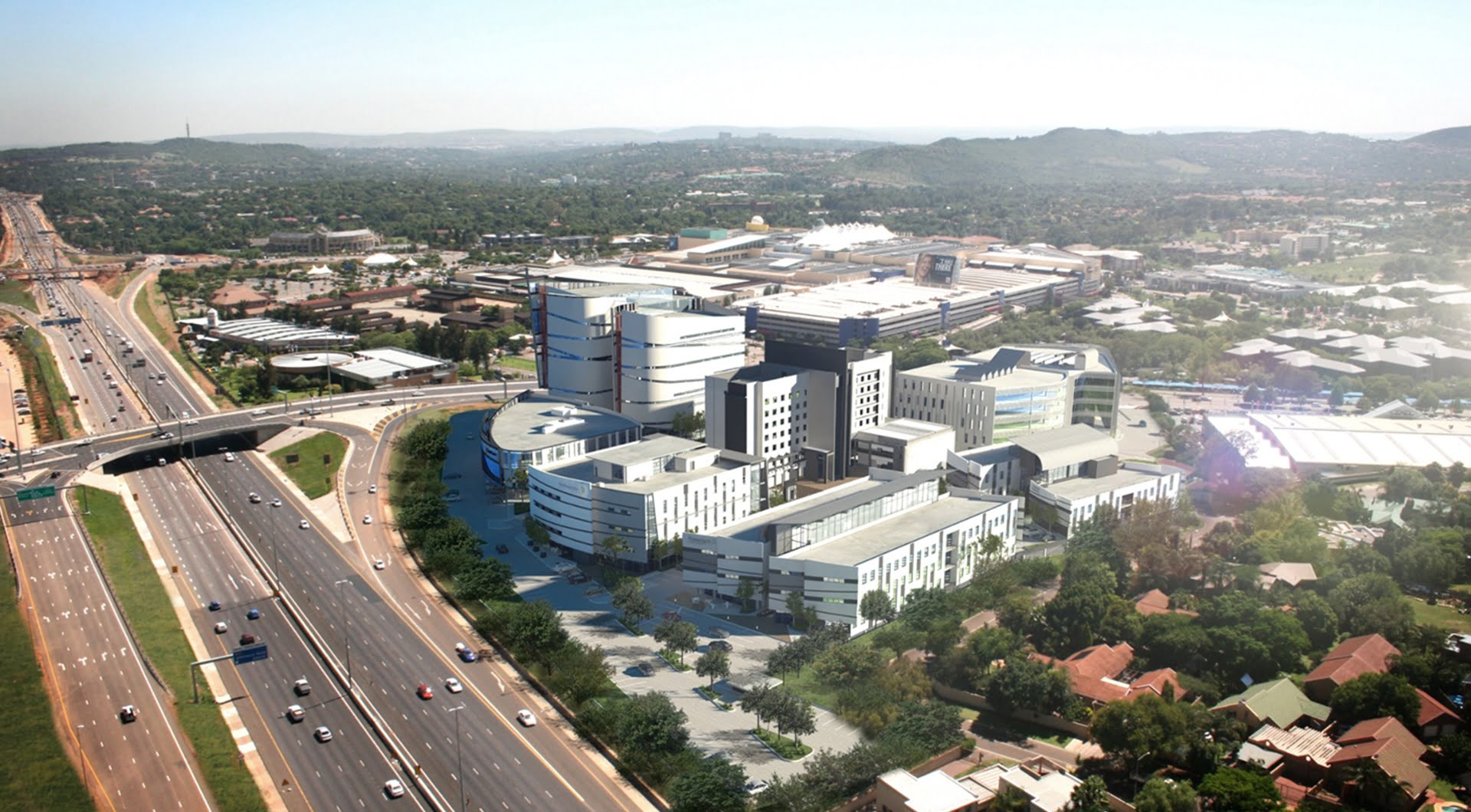
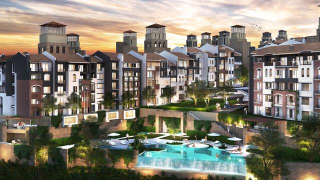
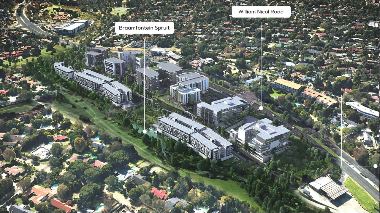
See some of our past projects below
See some of our past projects below